Whitlands the Place
The Whitlands High Plateau is a 12km long high-altitude ridge that runs above the Western side of the King Valley in North-East Victoria along the Mansfield-Whitfield road. It is perched above the King and Myrrhee valleys with expansive views to the north, towards Benalla and Wangaratta, and to the east across the Alpine National Park as far as Mt Buffalo, Mt Feathertop, Mt Cobbler and beyond. It’s sort of a peculiar place, not quite alpine, not completely agricultural, with very dense forest that breaks occasionally to reveal magnificent views across the snow-covered mountains. No pub, no post office or shop, but with a population of 33, there is a thread of determination that runs through the families here. There are easier places to live, but the remoteness seems to bring out an industrious approach which can be seen throughout the region.

View from Powers Lookout, Whitlands, across the Alpine National Park. Photo by Pippa Kay.
Geology & Soil
The Whitlands plateau was created by volcanic uplift and is composed geologically of tertiary volcanic soil overlaying a basalt cap. The plateau runs for about 16km at the northern end of a larger ridge that extends to Mansfield in the south, with elevation ranges from 700 to 900 metres.
Around 70 million years ago a volcano, the crater of which can still be seen on a farm in neighbouring Tolmie, erupted and covered granite filled hills and valleys with lava. Over the following 70 million years, the granite eroded away, creating the surrounding valleys while the newer lava remained on the surrounding ridges. This lava then weathered to produce the wonderfully productive basaltic soil that now tops the Whitlands plateau.
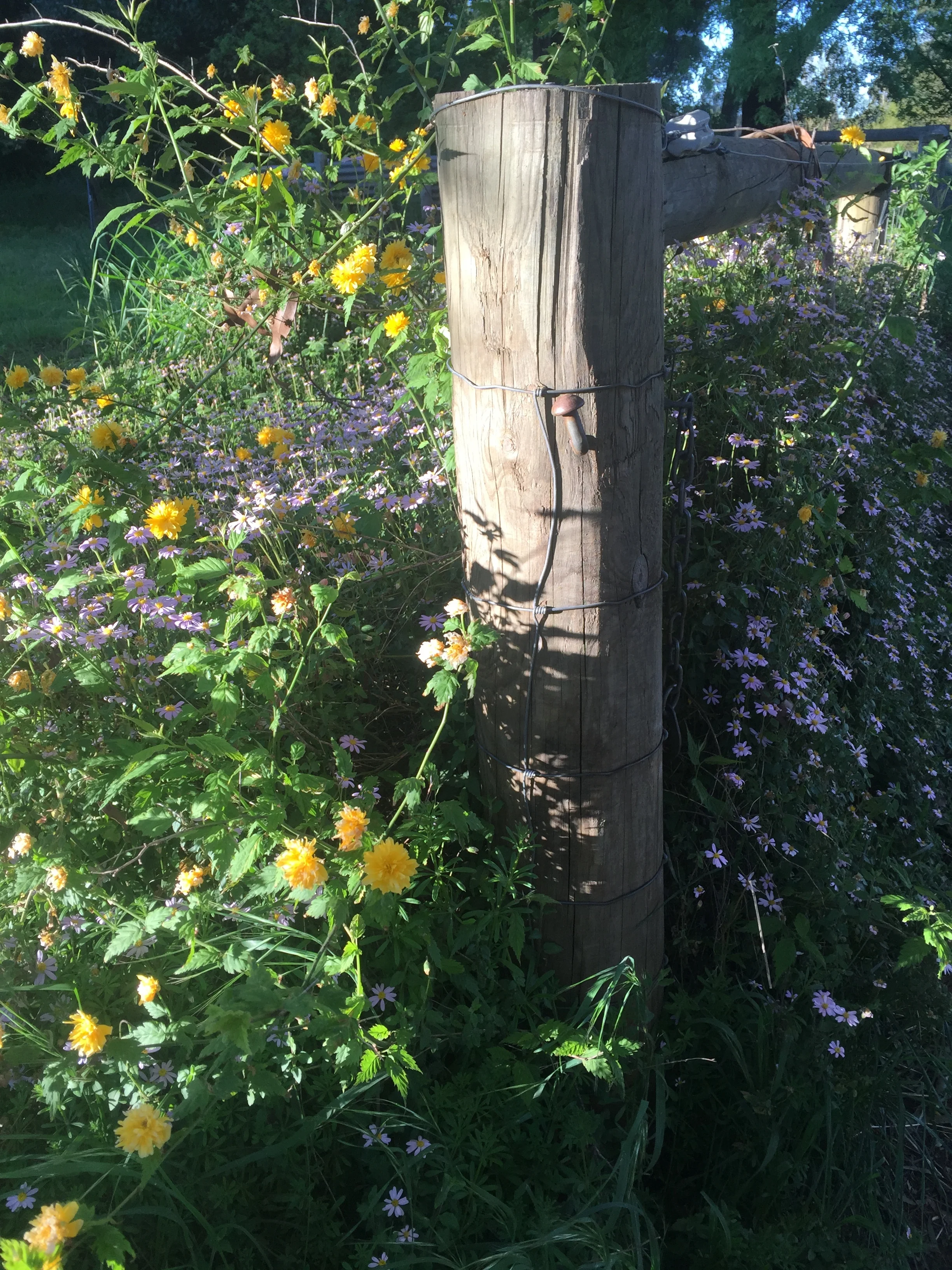
Flora and Fauna
Whitlands is a mix of cool temperate forest, lush pasture and green vineyards. In spring a variety of delicate orchids can be found on the forest floor. The Alpine daisy flowers along roadsides at this time of year too. Spring is also the time for bud burst in vineyards. Whitlands is famed for it’s berries and has blueberry orchards.
The forest is home to many bird species and locals often awake to a cacophony of calls from magpies, kookaburras, grey thrush, cockatoos, a myriad of wrens and even the elusive lyre bird. The birds share their home with wallabies, kangaroos, wombats, lizards, skinks and the like.


Climate
Whitlands has a climate that is distinct from surrounding regions. It is cooler in summer than neighbouring areas and is cold enough to snow in winter. The air is clean and fresh and the sun shines just that little bit brighter at the higher elevation.
Whitlands temperatures are relatively mild with winter highs less than 10’C down to 0’C but rarely below. Summer days are also mild with temperatures dropping to around 15’C at night with highs of around 35’C maximum during the day.
Whitlands has relatively high rainfall, averaging about 1335 mm a year. According to the Bureau of Meteorology, The wettest year since recording commenced in May 1929, was 1939 with 2232 mm. The driest year was 2006 with 521.4 mm rain. The wettest month was recorded in July 1981 with 518 mm and there have been only 4 months on record without any rainfall at all, these being January 1930, February 1933, May 1934 and May 2017. The longest officially recorded period of consecutive days with rainfall occurred across 22 days in May - June 1968, recording a total of 360.7 mm rain. The longest stretch without rainfall was 46 days spanning December - January 1954 -1955. See the Bureau of Meteorology data for Whitlands here.
THE SEASONS


Bushfires
Despite being a cool climate, with relatively high annual rainfall, records show Whitlands has been affected by major bushfire on several occasions since the late 19th century and presumably the area was subject to bushfires before this time as well. Fires burnt through the area in 1898 and 1919, but the most devastating bushfires occurred in 1939 and 2006-2007.
The Black Friday fires in 1939 burnt much of Whitlands, including Toombullup and Cambatong forests, across the plateau, through Powers lookout and down the ridge to almost meet another fire burning on the Cheshunt range. This fire was reported to be unpredictable and completely out of control, despite the best efforts of the fire services.
A similarly large bushfire affected the area in 2006-2007. From December 2006 to March 2007, up to 1000 fires burned across Victoria, burning a total of 1,200,000 hectares of public and private land. One of these was the Tolmie - Watchbox Creek complex, started by lightning. The fire burned in the area for almost 60 days, completely surrounding Whitlands. It was only due to the strategic backburning efforts of CFA volunteers and modern firefighting equipment including water bombing helicopters ‘Elise’, ‘Delilah’ and other smaller water cranes, that Whitlands did not lose any homes or lives. The fires however, had a major affect on the vineyards in the area. Grapes absorb the smoke compounds resulting in ‘smoke taint’, rendering the grapes unsuitable for wine making and unsaleable. In this year the grapes had to be left on the vines or picked onto the ground.


Industry and agriculture
There has been some form of industry or agriculture being practiced continuously since the early 20th century. A resourceful bunch of people, Whitlanders have made the most of what the area has to offer establishing thriving businesses in a place that could be considered remote. In the first half of the 20th century logging dominated the area with several sawmills. More recently viticulture and horticulture has expanded at Whitlands with blueberries, raspberries and cold climate wine grape varieties grown commercially.

The Vineyards
Whitlands deep volcanic soil and cool climate are perfect for growing cold climate wine grape varieties and the area boasts grape production at amongst the highest altitude in Australia. Vineyards owned and run by a number of local residents can be seen from the Mansfield-Whitfield road. Varieties grown including Pinot Noir, Pinot Grigio, Friulano, Pinot Meunier, Chardonnay, and Riesling.
Things to see and do
Lookouts from the Whitlands Plateau

Powers Lookout
Powers lookout offers splendid views of the King Valley 300m below, and across the Alpine National Park. The lookout is a few kilometres off the Mansfield-Whitfield road along a well graded dirt road.
Powers lookout is so named as it was a hideout and vantage point for infamous bushranger Harry Power, who was captured here by police on the 5th June 1870.

Northern viewing platform
Beyond the main viewing platform at Powers Lookout, accessed immediately from the car park, the outermost crag and northern viewing platform can be reached via a walking track and a series of steep ladders.
The northern viewing platform hangs right on the edge of the plateau. It is a little difficult navigating the steep and narrow ladders and tracks but the view is worth the effort

Scenic Lookout
The scenic lookout boasts 180 degree views north across the Myrrhee valley, towards Wangaratta, Benalla and across to to the King Valley. Views encompass mountains, valleys and rolling hills covered in lush vines. The Whitlanders would love to see the Scenic Lookout designated an official site again, as it was in the past.
The Whitlands community’s future vision for the Scenic Lookout is to educate people about the native vegetation; improve signage; create a rest area for tourists and make the Scenic Lookout a popular picnic spot for locals again and share it with visitors.
Scenic Drive
The route between Mansfield and Whitfield is one of the most beautiful drives in Victoria. Whitlands is at the northern end of the 65 km drive, where the Mansfield-Whitfield road winds its way through thick forest, paddocks and vineyards. There are many places to stop along the way, including the ever popular Powers Lookout, and the Scenic Lookout at the northern end of the plateau.

Beautify scenes on the Mansfield-Whitfield road (Photo by Michael Ashby)
Picnic at the Whitlands State School site

A peaceful picnic spot
In 2018, the Whitlands community installed a plaque to commemorate the Whitlands State School No. 4536. A picnic table and chairs were also installed by the local community, as a place for people to stop for lunch and enjoy the beauty and peace. This area is not serviced and we ask that people enjoy their stop and take their rubbish with them.
Image by Christine Delany
The King Valley Challenge
The King Valley Challenge is an annual event held on the last Saturday of October since 2010.
The main event is a multi-sport challenge comprising of a 15 km run, 12 km kayak, 39km cycle and 3.6 km run to finish, this can be done in teams or as an individual. There is also a 3 km and 6 km fun run or walk so everyone can have a go.
The challenge starts at Lake William Hovell in the King Valley and ends at Powers Lookout in Whitlands. The finish line is one of the most spectacular finish lines in the world with majestic views of the Victorian Alps as you cross the line. Presentations, dinner and drinks follow at the Whitfield Mountain View Hotel from 5pm. People stay for the weekend and enjoy less vigorous exercise at Lake William Hovell on Sunday morning and take advantage of the food, wine and sight seeing in Whitlands and the King Valley.
The event is well supported by locals and is unique to the area. For more information visit www.kingvalleychallenge.com
